

NASA's Landsat 8 satellite now allows sharper images on Google Earth
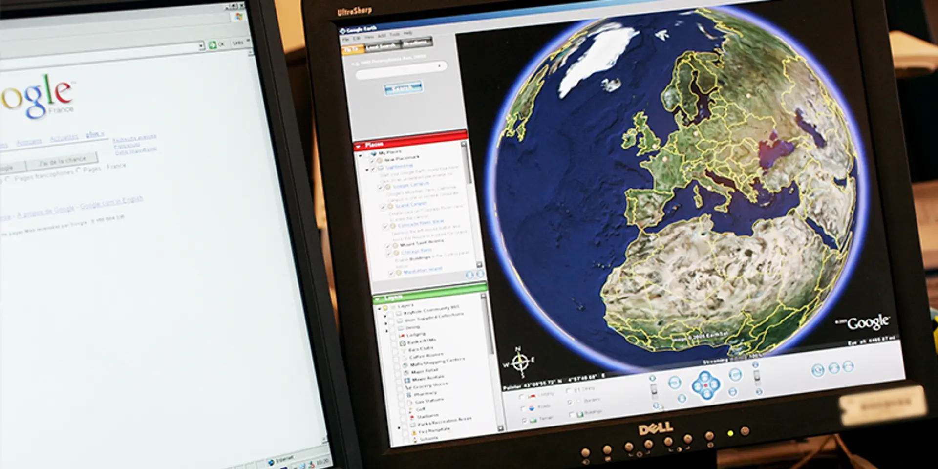

Google's free online mapping service is bringing the world into better focus with an updated version of Earth that takes advantage of photos from a US Landsat 8 satellite.
The Internet giant introduced a "cloud-free mosaic" of this planet three years ago at Google Earth, and this week began rolling out a new version that uses new techniques to process sharper images gathered by the satellite sent into orbit in 2013, as part of a collaboration between NASA and the US Geological Survey.

Google Earth previously relied on images from a Landsat 7 satellite, which encountered a hardware problem that resulted in large diagonal gaps in pictures, according to program manager Chris Herwig.
"Landsat 8 captures images with greater detail, truer colors and at an unprecedented frequency," Herwig said in a blog post.
Google Earth creates unobstructed views of the surface of the planet by analyzing millions of images and stitching together the clearest bits, according to Herwig.
Google Earth is part of free online mapping services offered by California-based Alphabet.
Landsat has observed the Earth from space since 1972, gathering a wealth of information on the changes to the Earth's surface over time.
While scientists can use the satellite output to track changes in global tree cover, surface water, and even predict Malaria outbreaks, Google has been using it to improve its mapping apps.
According to the blog: “Satellite images are often cloudy, but not always over the same place, so we looked at millions of images and took the clearest pixels to stitch together this cloud-free and seamless image.”
The Landsat 8 satellite, launched in 2013, represents a step-change over Landsat 7's output which degraded after 2003 after a hardware failure took place.
The blog said, “Landsat 8 captures images with greater detail, truer colors, and at an unprecedented frequency—capturing twice as many images as Landsat 7 does every day. This new rendition of Earth uses the most recent data available -- mostly from Landsat 8 -- making it our freshest global mosaic to date.”
“Our previous mosaic used imagery from Landsat 7 only, which at the time was the best imagery of its kind. Unfortunately, Landsat 7 images captured after 2003 were affected by a hardware failure, resulting in large diagonal gaps of missing data. You can see this effect in the subsets of two Landsat 7 images captured over Oklahoma City, OK, in 2000 and 2003,” it said.
The new imagery is now available across all their mapping products. To check it out, open up Google Earth, or turn on the satellite layer in Google Maps.
Google thanked the USGS and NASA for their joint Landsat program, which has been tracking and recording changes to the Earth's surface since 1972, and making the resultant imagery available in a free and accessible manner via landsat.usgs.gov.