



India is testing AI that can spot damaged rural roads
The Centre is testing AI to detect potholes, cracks and other road damage on PMGSY rural roads using mobile phone videos.

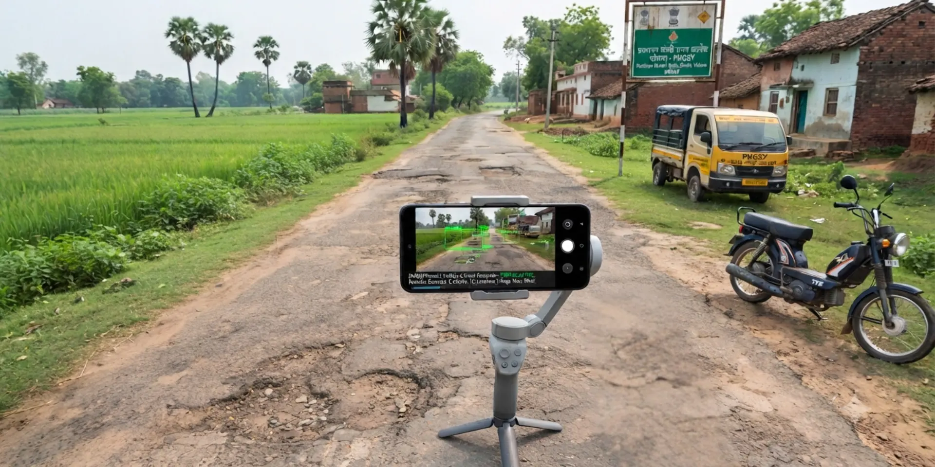

A phone camera could soon help find a pothole before it becomes a bigger road problem.
The Centre is testing an AI-based system that can analyse videos recorded on mobile phones and identify visible damage on rural roads. The technology is being developed for roads covered under the Pradhan Mantri Gram Sadak Yojana, or PMGSY.
The system is designed to spot defects such as potholes, cracks and broken road edges, giving officials another way to assess road conditions without relying only on manual inspections.
According to the Ministry of Rural Development, the technology has received in-principle approval for trials. It is being developed by the Centre for Development of Advanced Computing, or C-DAC, in partnership with the National Rural Infrastructure Development Agency.
From a phone video to a road report
The process is fairly straightforward.
Field teams record videos of roads using mobile phones mounted on vehicles already available with Programme Implementation Units. The footage is then analysed by the AI system, which looks for different types of visible damage.
These include potholes, longitudinal and transverse cracks, patches, surface depressions, edge breaks and vegetation-related obstructions.
The idea is not to let AI decide whether a road needs repairs on its own. Engineers will continue to physically verify the defects, with their measurements compared against the AI system's findings during validation.
That human check is important because road conditions can vary significantly across terrain, weather and lighting conditions.
Why rural roads need another layer of monitoring
Rural roads connect communities to schools, healthcare, markets and employment. Keeping thousands of kilometres of roads in usable condition, however, requires regular monitoring.
Currently, officials inspect roads in person and upload geo-tagged photos through the eMARG mobile app.
Video-based AI could add another layer of information. Instead of relying on individual photographs, officials could capture a continuous view of a road and use automated detection to flag stretches that need closer inspection.
The government is also examining whether AI-based assessments can eventually be integrated with eMARG, potentially making road-condition monitoring more consistent and easier to document.

The system is still being tested
The technology has not reached a nationwide rollout yet. Initial trials were carried out earlier this year on six roads across Pune, Lucknow district, Ri-Bhoi district in Meghalaya, and Kamrup district in Assam. An improved version was later tested on seven roads in Kanpur district and Berasia block of Bhopal district.
A wider field-validation exercise began on September 1, with states and Union territories identifying units for trials on PMGSY roads. The additional field data will be used to refine the system before any larger deployment.
Existing contractual responsibilities will also remain in place. This includes the five-year Defects Liability Period, during which contractors remain responsible for correcting defects and carrying out routine maintenance.
For now, the technology is best understood as an extra pair of eyes on the road, not a replacement for engineers. Its usefulness will ultimately depend on how accurately it detects damage in real-world conditions and how effectively those findings can support decisions on the ground.