


Bengaluru East deploys AI to detect potholes
Bengaluru East City Corporation is using AI to map roads, detect potholes and improve road maintenance with faster, data-driven repairs.


Potholes have long been one of Bengaluru's biggest civic headaches.
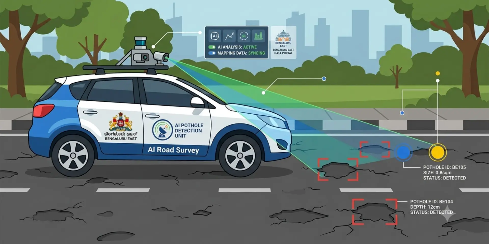
Now, the city is betting on artificial intelligence to tackle the problem more efficiently. The Bengaluru East City Corporation (BECC) has launched an AI-powered road monitoring initiative that maps roads, identifies potholes and evaluates road conditions using computer vision.
Instead of relying on manual inspections, officials say they can use survey data to prioritise repairs, allocate resources more accurately and improve maintenance planning.
AI is giving road inspections a digital upgrade
Survey vehicles fitted with high-resolution cameras have scanned nearly 1,600 km of roads across the BECC region, according to the corporation. The footage is analysed using YOLO (You Only Look Once), an AI-based computer vision model that detects objects within images.
The system flags potholes, road cracks, rutting and utility cuts before assigning every road segment to one of five condition categories. This gives engineers a consistent picture of road quality, letting them prioritise repairs on surveyed conditions rather than scattered field reports.
Every road now has its own digital identity
BECC has assigned every road a unique Road Identification Number. The platform stores road names, ward details, GPS coordinates, road length, photographs and damage reports in one central database.
A Vision Language Model, which combines image recognition with text analysis, works alongside image segmentation to estimate each pothole's length and width. Depth is not reliably captured by camera-based surveys and still needs field verification. These estimates help engineers gauge the hot mix asphalt required, making budgeting more precise before work begins.
Pilot project delivers detailed insights
The first phase of the survey has covered roads across all 50 wards under BECC. Vibhuthipura has been taken up as the first repair pilot, where the survey identified roughly 144 potholes and about 144 sq m of patching work, an average of 17 potholes per kilometre.
For every defect, the dashboard records GPS coordinates, estimated dimensions and photographic evidence. Officials have directed field teams to make Vibhuthipura pothole-free within one week.
A smarter approach to road maintenance
The system offers advantages over conventional inspections. Geotagged data reduces repeated site visits, improves transparency in repair budgets and helps authorities focus on the worst stretches first. Its value will depend on how consistently detections are verified on the ground, as automated systems can throw up false positives.
If the pilot succeeds, BECC plans to extend the system across more wards and run seasonal surveys before and after the monsoon.
By combining AI with digital mapping and predictive maintenance, Bengaluru is taking a step towards smarter infrastructure management, identifying problems early rather than reacting after roads deteriorate.