



BMC to use AI, drones and satellites to spot illegal buildings in Mumbai
Mumbai's BMC will use AI, drones and satellite imagery to detect illegal buildings faster, improve monitoring, and take action against unauthorised construction.

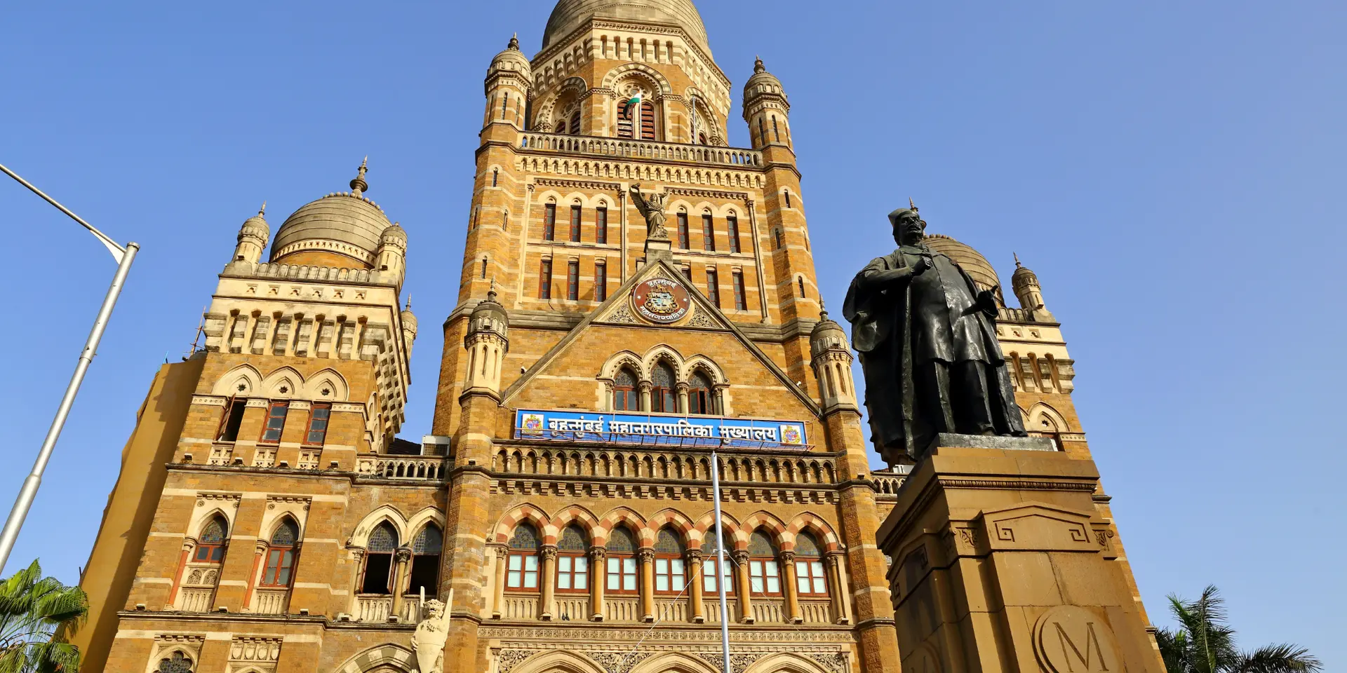

Mumbai’s skyline may soon be watched more closely from the sky and from space. The Brihanmumbai Municipal Corporation (BMC) has approved a technology-driven plan to detect illegal buildings, encroachments and unauthorised structural changes across the city.
The proposal, cleared by the civic body’s General Body, seeks to bring together AI, drone surveys, satellite imagery, Geographic Information Systems and remote sensing to identify violations at an early stage.
The move comes amid continuing concerns that illegal construction affects public safety, urban planning, traffic management and environmental protection in Mumbai. By adding digital monitoring to field inspections, the BMC hopes to respond faster before unauthorised work becomes harder to control.
How AI and aerial mapping will help
Under the proposed system, AI-based tools will be used to compare images, maps and civic records to flag possible illegal construction. In simple terms, AI can help officials spot differences between approved building plans and what exists on the ground.
Drones are expected to support regular local surveys, especially in dense areas where physical inspection can be difficult. Satellite images can provide a broader view of changes across wards, while GIS (Geographic Information Systems) helps link structures to exact locations on digital maps.
This layered approach could help the civic administration detect new structures, extra floors, extensions and major alterations more quickly. It may also reduce overdependence on manual checks, which can be slow in a large and crowded city like Mumbai.
A complaint system for citizens
The plan also includes a GPS-enabled mobile application and an online complaint portal. Residents will be able to submit geo-tagged complaints, meaning the location of the reported structure will be automatically attached to the complaint.
This can help officials identify the site promptly and direct the matter to the appropriate department. Such a system may make the reporting process more transparent and accessible. It could also create a digital trail for complaints, inspections and enforcement action, making it easier to track whether cases are being addressed.

BonV Aero builds heavy-lift drones that fly cargo where vehicles can't go
Why the plan matters for Mumbai
Illegal construction is not only a planning issue. It can put residents at risk when buildings lack proper permissions, fire safety approvals or structural checks. Mumbai has seen repeated public concern and court scrutiny over unauthorised buildings and unsafe occupation.
The Bombay High Court had earlier urged the use of modern technology, including satellites and drones, to monitor unauthorised constructions, noting the limits of conventional manpower-based supervision.
However, the success of the plan will depend on clear implementation, regular surveys, coordination between departments and timely action after violations are detected.
What comes next
The civic administration has been directed to develop an AI-based illegal construction detection system, conduct drone and satellite monitoring, introduce the public complaint mechanism and submit a time-bound action plan with an implementation report before the House.
If executed well, the initiative could give Mumbai a stronger early-warning system against unauthorised development. The technology can identify the problem faster, but enforcement will remain the key test.