
How Resilience AI is using hyperlocal risk data to help villages prepare for climate disasters
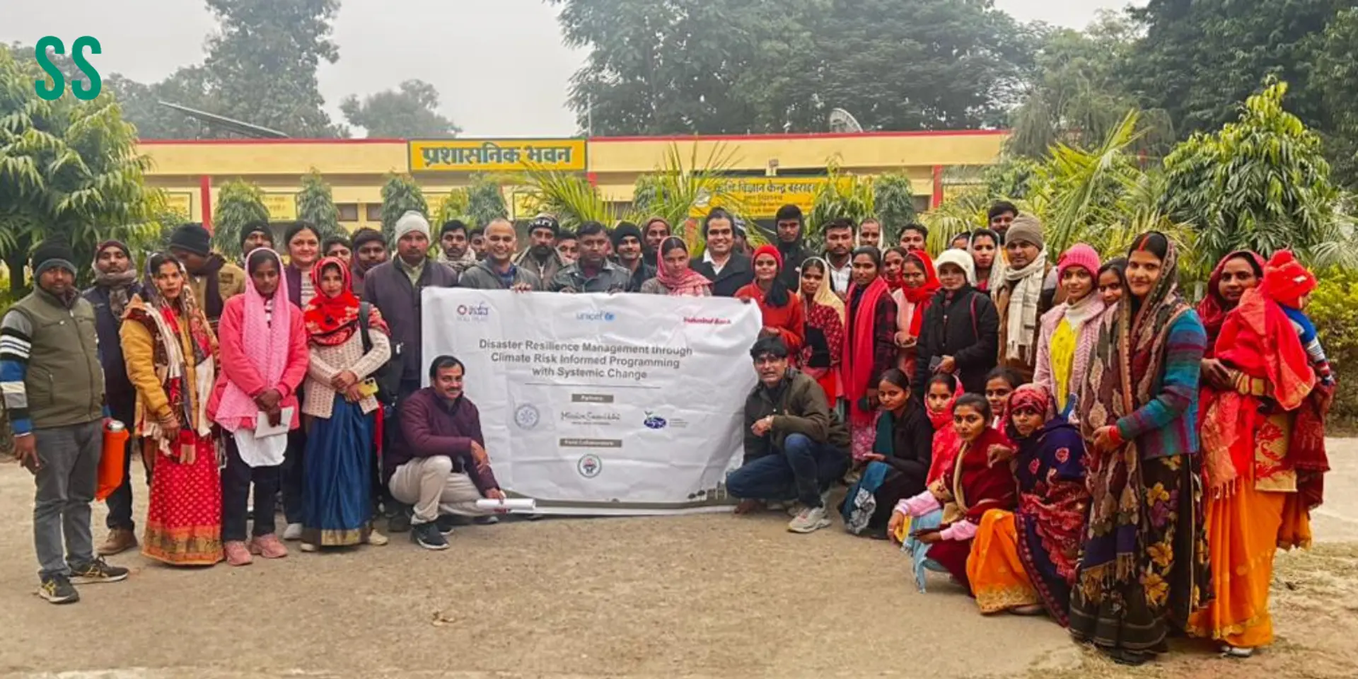
Funded by the United Nations and UNICEF, Resilience AI has deployed AI-powered disaster management plans across 75 gram panchayats in Uttar Pradesh, Bihar, and Tamil Nadu, helping vulnerable communities better prepare for climate-related disasters.

During a training workshop at a village in Virudhunagar district, Tamil Nadu, last year, a local administrator was shown a risk map generated by an AI platform.
It flagged that the girls' school in her village was located in a micro-hotspot with elevated temperatures. The administrator already knew that the children of the area were frequently falling ill, but did not know why. When she realised the reason, her response was immediate.

A training workshop
In another instance, at a small mandi in Bahraich district, Uttar Pradesh, the stock consistently dried up. This was identified as a high-risk zone. Again, the outcome was well known, but the cause, which was location risk, was not.
That exchange between what a community experiences and what data can explain is at the centre of what enterprise tech and climate resilience startup Resilience AI, UNICEF, and RedR India, a nonprofit organisation that maintains a register of professionals, have been building together in the rural areas of Uttar Pradesh, Bihar, and Tamil Nadu.
The programme explores how artificial intelligence (AI) and machine learning (ML) can strengthen climate adaptation and disaster management by supporting development planning at both the sectoral and community levels.
The initiative was implemented across 75 gram panchayats in Bahraich (UP), Begusarai (Bihar), and Virudhunagar (Tamil Nadu), reaching communities facing recurring climate-related risks, including floods, extreme heat, and earthquakes.
Resilience AI has Resilience 360, a web-based platform that integrates climate, geological, environmental, and infrastructure data to generate hyperlocal risk profiles.
The platform was used to prepare digital Gram Panchayat Disaster Management Plans in line with the National Disaster Management Authority guidelines. These plans included multi-hazard risk assessments, measures to reduce risks, preparedness strategies, and response and recovery plans, and were integrated with Gram Panchayat Development Plans.
The birth of Resilience AI

Samhita R, Founding CEO, Resilience AI
In 2021, when Cyclone Yas hit the eastern coast of India, what Samhita R, Founding CEO of Resilience AI, witnessed in its aftermath was not just destruction, but disorder and mass displacement as well.
“The most damaging element of a disaster is not the event itself but the mass panic it creates. The conventional approach—the school is available; make it a relief centre—is problematic because many schools are in high-risk zones,” she says.
Resilience AI was built to close that gap. Its platform, Resilience360, takes a location anywhere in the world and returns a hyperlocal risk profile within 24 hours across various hazard types, including floods, earthquakes, heatwaves, cyclones, and landslides.
It provides anticipatory guidance on which zones to evacuate first, which low-risk areas can serve as relief centres, and where to prioritise communication efforts.
“The platform replaces generic thinking with precise, location-specific intelligence. Vulnerability indicators such as access to roads, water, and sanitation are also factored into the algorithm, ensuring that the most at-risk communities receive the earliest attention,” Samhita explains.
Plans that would take government agencies three to eight months to produce can now be generated as a working first draft in 72 hours, with human experts stepping in to contextualise and refine, she adds.
Every element of a plan is automatically converted into an action item with assigned accountability, timelines (near-, medium- and long-term), and clear durations. Even compliance-driven plans become actionable in real time. For organisations managing hundreds of locations across multiple standards, the dashboard provides a single view that enables timely, informed decision-making without requiring climate expertise.
Taking Resilience AI to the grassroots
The United Nations and UNICEF approached Resilience AI as part of a programme focused on gram panchayats.
“The challenge they identified was that Gram Panchayat Development Plans, the standard mechanism by which every gram panchayat plans and allocates budgets across sectors such as transport, education, and agriculture, almost entirely excluded disaster management and climate adaptation,” says Samhita.
Three specific challenges were identified. One, plans are siloed and sectoral. Two, disaster management is either absent or poorly represented, and vulnerable populations and critical infrastructure, such as schools and health centres, are overlooked in the planning process. Three, Panchayat officials are administrators, not climate or disaster management experts. Expecting them to independently assess complex climate risks and integrate them into development planning slowed the process and made it inconsistent.
“We were given the mandate to solve all three using AI and ML—and to do so through technology that feels as simple and intuitive as using a mobile phone. We took the existing Resilience360 platform and customised it for this use case,” says Samhita.
Resilience AI trained 150 grassroots operators, local administrators, NGO workers, and village authority representatives across about five workshops.
“The most powerful insight was this: these communities did not need to be told what was happening. They lived with the problems. For the first time, the platform provided scientific evidence explaining why it was happening. That school, for instance, requires urgent structural retrofitting. Without that knowledge, the cycle of children falling ill would simply continue,” she explains.
Before moving to the workshop phase, a team of UN (United Nations) evaluators validated the platform, verifying its methodology, scientific principles, and the precision of its results.
The platform is permanently deployed in these three districts.
The technology, Samhita is quick to acknowledge, is the easier part of the problem.
“At the gram panchayat level, disaster management and planning are not always treated as priorities. Our goal is to make using this tool as natural and habitual as any other daily operational behaviour. The local administration has been very positive in its response, but the real challenge is ensuring this becomes a standing priority before the next flood, not only after losses occur,” she says.
The immediate goal is to reach 2,000 more villages across India, with the longer-term ambition of building a structural disaster database, village by village, through each new Gram Panchayat Development Plan.
“Two policy outcomes have already followed from the programme. The Ministry of Panchayati Raj has included disaster management in its Community-Based Disaster Risk Reduction framework, which means it will formally become part of the ministry for villages.
“Also, sectoral databases are now being designated as AI-enabled last-mile disaster databases, establishing that villages should hold their own disaster data rather than relying solely on district-level aggregates,” Samhita concludes.
Edited by Swetha Kannan