India's satellite navigation is better than GPS: government
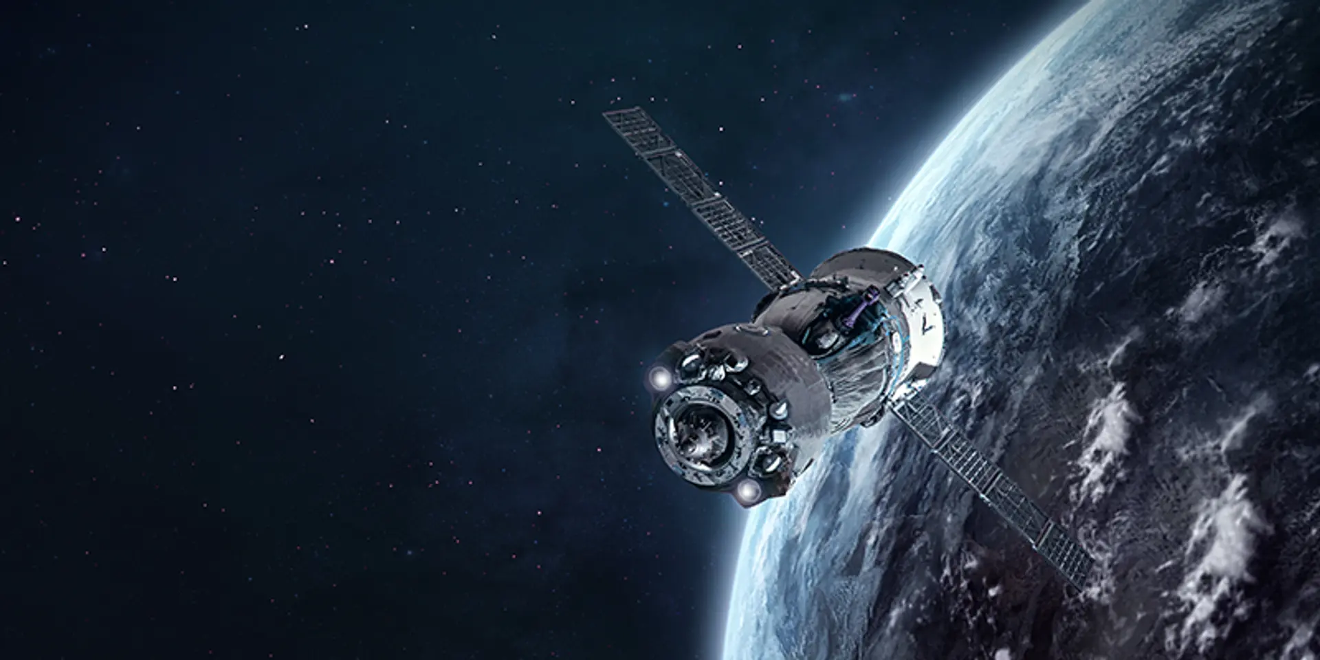
The government has said that the Indian satellite system, NavIC, can help with navigation on land, air and sea, as well as with disaster management.
In a reply to the Rajya Sabha, Union Minister of Science & Technology Dr Jitendra Singh stated that the Indian satellite-based navigation system, NavIC, is as good as the American GPS system. This news comes days before ISRO plans to launch another Earth Observation Satellite on the maiden SSLV rocket flight on August 7.
The satellite system was built to help cater to critical national security applications, including border security, and is constantly updated. NavIC can help with navigation on land, air and water, as well as with disaster management.
Dr Singh argues that NavIC satellites are better because it orbits Earth at a height of 36,000 kilometres above the surface, compared to the GPS satellites that are at 20,000 kilometres.
Additionally, it uses dual frequency bands, meaning that there are dual receivers on Earth which make up for any signal losses or interferences encountered by single frequency bands.
110 space projects planned for North East
In another reply to the Rajya Sabha, Dr Singh stated that the North Eastern Space Applications Centre (NESAC) in Shillong aims to execute 110 space-based projects in the eight states in the region by 2024.
These projects will be conducted in conjunction with needs laid out for agriculture, water resources, forestry and ecology, planning and development, UAV remote sensing, and disaster management.
These projects will be jointly funded by the Department of Space, the Ministry of Development of the North Eastern Region, and the respective state governments.
NESAC is an autonomous space agency under the Department of Space that aims to provide space technology inputs and services for the development of the North Eastern Region. It was set up in 2000.
Edited by Saheli Sen Gupta


