These 5 tech innovations can protect wildlife and Earth
While planting billions of trees to combat deforestation globally is an expeditious and potential way to reduce carbon dioxide from the atmosphere, we need long-term solutions to protect the earth from environmental emergencies.
According to the United Nations, the world loses around 4.7 million hectares of forest area every year.
While planting billions of trees to combat deforestation globally is an expeditious and potential way to reduce carbon dioxide from the atmosphere, we need long-term solutions to protect the earth from environmental emergencies.
Modern technologies — drones, cloud technology, data analysis, and artificial intelligence (AI) — are effectively used to revolutionise wildlife conservation efforts.

In 2020, AI was valued at $62.3 billion. It is expected to value at $997.77 billion by 2028, growing at a CAGR of 40.2 percent.
The respondents involved in AI projects state that in the next three to five years, AI-enabled medical devices are predicted to reduce average global emissions by 18.3 percent.
Drone technology
Drone — an unmanned aerial vehicle (UAV) — can be remotely controlled or fly autonomously using software-controlled flight plans, which works in conjunction with onboard sensors and a global positioning system (GPS).
Prudent use of drone technology can immensely help wildlife conservation and the environment.
Drones can cover vast areas cost-effectively in just a few minutes without disturbing nature. Perfect for any terrain, drones can survey even the most rugged of mountains, provide a bird’s-eye view, track dangerous species, and help keep wildlife and wild areas safe.
While the technology is extensively used to watch out for poachers and trespassers, it can also be used to provide aid when natural disasters like earthquakes or floods strike.
Moreover, they help locate wildfire hot spots, map fires and their direction, and ignite controlled fires to eliminate potential wildfire fuel. Besides, they are used to plant seeds for reforestation, especially across fire-ravaged areas.
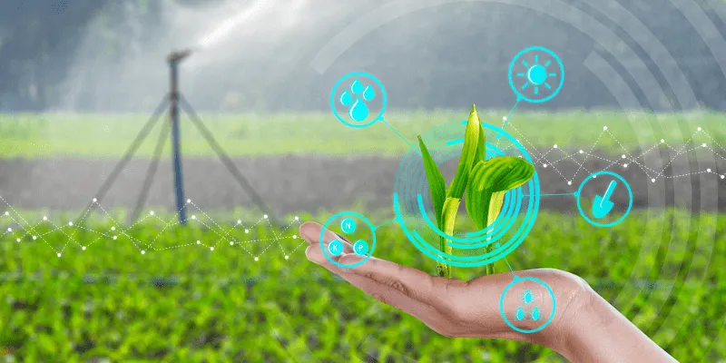
Drones help in smart land management, sustainable farming, and crop monitoring. At present, they are increasingly used for the delivery of orders to customers in urban areas that face heavy traffic congestion.
In fact, the rapid increase in drone usage in the transportation industry will help fight climate change by substantially reducing carbon emissions.
Use of robots under the ocean
Oceans absorb around 30 percent of carbon dioxide. However, the marine ecosystem is constantly under threat from global warming effects, unsustainable fishing practices, water pollution, industrial exploitation of water bodies, etc.
Since most of the marine ecosystem remains untouched and unexplored, scientists use robots to search for new ways to inspect, maintain, or replenish aquatic life.
Artificial intelligence technology, such as satellites, can monitor, map, and potentially predict when and where algae blooms will occur, as its overgrowth results in negative impacts on fisheries and tourism.
AI image processing
At present, many species find themselves on the brink of extinction due to the illegal wildlife trade around the world.
The AI Guardian programme, equipped with night vision and object detection in dark technology, help forests to be more secure for animals.
These cameras are installed at sites where poachers infiltrate. It can detect persons carrying weapons and alert authorities to save animals.
Whenever the sound of chainsaws, gunshots, or motor vehicles is detected in the vicinity of the forest, the programme can alarm authorities and help reduce poaching and illegal logging.
Innovative apps to engage citizens
Without the help of citizens, neither any government nor organisation can achieve wildlife conservation or environmental benefits.
For instance, the use of the RESTORE Urundata app can help in mapping land across any sprawling archipelago and protect forests and indigenous communities.
Data analytics for gathering information
Data Analytics helps in providing a greater and broader picture of what's happening on the ground by combining different data points gathered over time.
For example, high-tech solar pumps across Africa are used to map underground freshwater reservoirs to collect data and help prevent them from running dry.
Solar pumps are cheaper and cleaner options than diesel or gasoline used pumps and are increasingly used by thousands of small-scale farmers in 15 African nations.
Edited by Suman Singh
(Disclaimer: The views and opinions expressed in this article are those of the author and do not necessarily reflect the views of YourStory.)


