Union Minister Dr Jitendra Singh launches Geospatial Hackathon to promote innovation
The minister said that India is on the cusp of a geospatial revolution and a healthy synergy between the government, industry and scientific community will boost economic output.
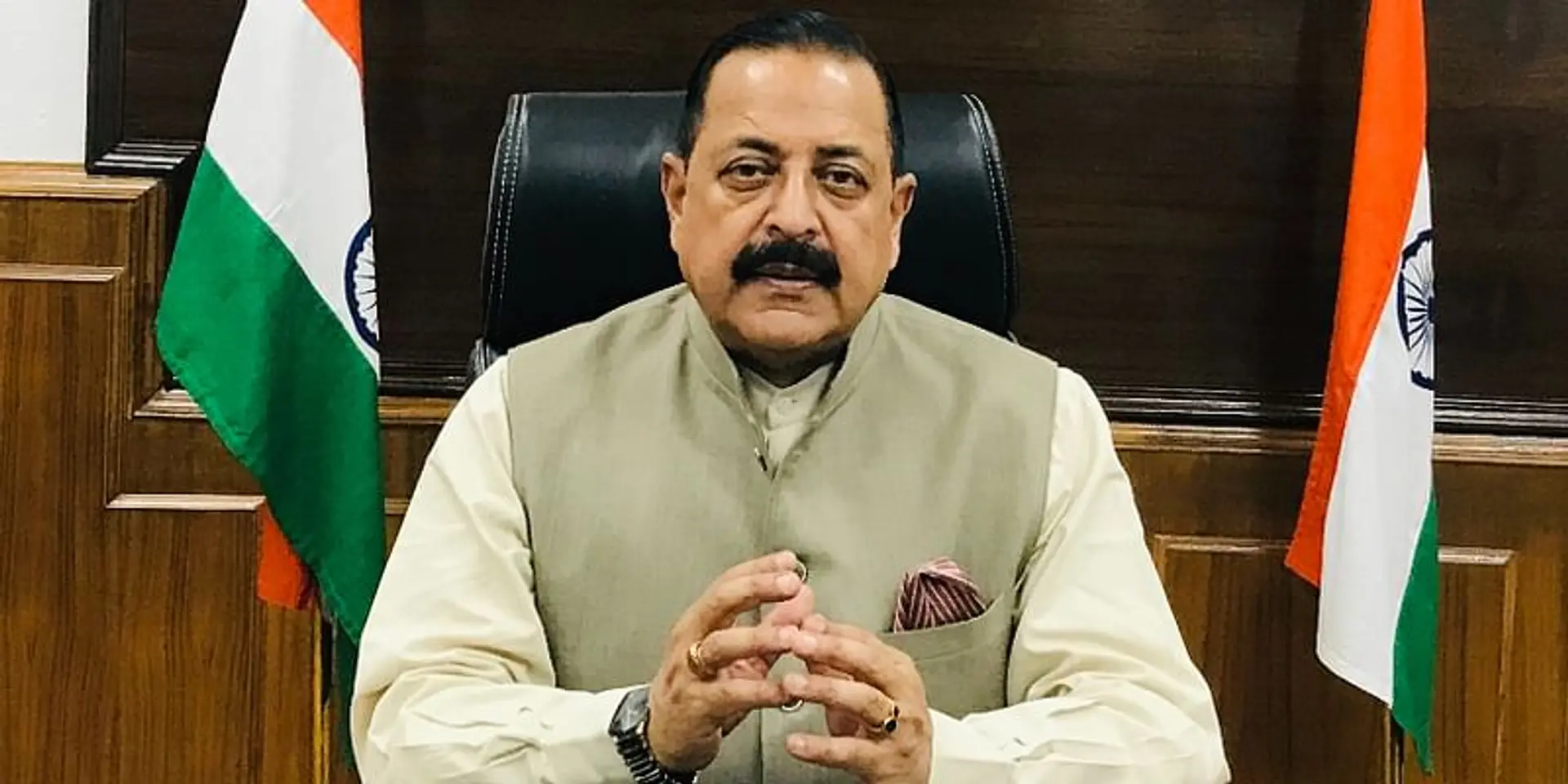
Union Minister Dr Jitendra Singh on Saturday launched the “Geospatial Hackathon” to promote innovation and startups in India’s geospatial ecosystem.
The minister said India is on the cusp of a geospatial revolution and a healthy synergy among the government, industry and scientific community will boost economic output and would help India become a $10 trillion economy by 2030.
Geospatial Hackathon will serve as a formal launchpad to India’s geospatial strategy and policy, Dr Jitendra Singh said. It envisions making India a global leader in the geospatial sector and become truly Atmanirbhar.

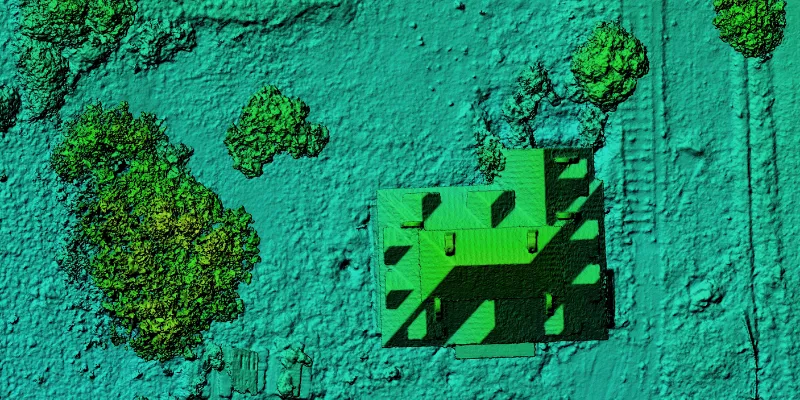
Geospatial mapping
The aim of this hackathon, as per Dr Jitendra Singh, is to promote partnerships not only among the public and private geospatial sectors but also to strengthen the country’s geospatial startup ecosystem.
“To achieve the sustainable development goals 2030, there is an urgency for our country to have reliable geospatial information for effective policy development, programming, and project operation,” he said.
The minister also emphasised that with the launch of the national geospatial policy, India is promoting ease of doing business in the entire geospatial sector and it will catalyse the mission to build India's globally competitive geospatial ecosystem.
Geospatial Hackathon will have two sets of challenges—research challenge and startup challenge to find out four winners for the best solutions to the geospatial select problem statements.
Dr S Chandrasekhar, Secretary, Ministry of Science and Technology, said that various geospatial datasets related to the problem statements will be made available to all the participants during the challenge to analyse the data and create insightful data processing, solution, and servicing tools.
“Building on the concept of ‘open innovation’ and ‘open data sharing’, the challenge is likely to benefit stakeholders across the Geospatial community in India,” he added.
Geospatial Hackathon will end on March 10, 2023.
Edited by Kanishk Singh


