Mapping the journey of Lalitesh Katragadda, the creator of Google Maps India
Lalitesh Katragadda believes that a combination of technology, entrepreneurship, and efficient engagement with the government can help India achieve greatness and excellence.
At the height of success, Lalitesh Katragadda chose to step down from a position of power. Lalitesh, Google’s Country Manager in India, joined Google in 2002 and, after 12 flourishing years with the internet biggie, chose to quit in 2014.

The man, who co-started several projects including Google Finance and Hindi Transliteration, made the best of his pet project – Google Map Maker, a group map-making tool that people around the globe used to map their world. He’s still working on his personal goal: to collaborate and create growth and development for India.
Lalitesh believes that Google Maps has great potential, so much that it can single-handedly kick-start and help fructify development in the country.
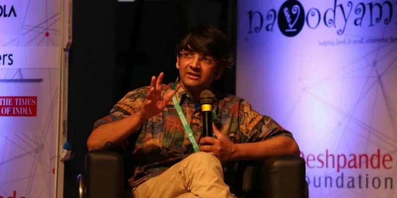
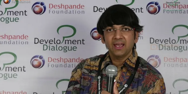
In a candid conversation with YourStory in Hubli, Karnataka, at the Development Dialogue Summit by Deshpande Foundation, he talks about his education, his passions, and his dream for his home country.
Lalitesh was born into a Telugu family in Tanuku, Andhra Pradesh, and grew up in Bombay (now Mumbai). His father worked with the Indian Institute of Technology, Bombay (IIT-B) while he studied in Kendriya Vidyalaya, Powai. He went on to complete his bachelor’s in aerospace engineering from IIT-Bombay in 1990 and his master’s in aerospace engineering from Iowa State University in 1991.
Getting started
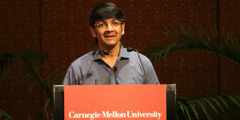
Lalitesh, now 47 years old, happened to stumble upon his passion for physics and computer science before even he got into IIT-Bombay. He began to look at engineering problems with a physics/computer science perspective. One of his mentors soon enlightened him that he was essentially looking at robotics. So after completing his master’s course, Lalitesh found himself pursuing a PhD in Robotics from the prestigious Carnegie Mellon University.
Lalitesh took programming very seriously when he took his first job as a research assistant at Carnegie Mellon, and eventually co-founded his startup Sphereo, in San Francisco, with a classmate. Google acquired Sphereo, a robotics startup, in 2002, and his stint with Google started the same year.
Lalitesh, who was also responsible for Hindi Transliteration at Google, soon moved to Google’s Bengaluru office for a new journey.
But Google Maps in India did not seem economically viable in 2004.
Lalitesh says,
"Maps are very essential for the development of a country. It didn’t quite make sense to me until I read a book by Hernando de Soto, who talked about maps and property rights, and them being responsible for a country's progress. When I came to India with zero knowledge of my neighbourhood and routes, I knew I needed a map. I drove a GPS truck to map the roads, which cost $10-$15 per kilometre. India had 3 million kilometres and $45 million wasn't a possibility. Even if we approached tech giants like Yahoo, there wasn't any substantial Return of Investment for this idea. Since the roads keep changing every five years, spending 45 million dollars every five years isn't something India could afford."
But, he believes “scarcity becomes clarity.”
Mapping the world
Good quality satellite imagery was starting to emerge in 2003, and Lalitesh built computational geometric tools to actually make sketches of routes and maps. He developed Google Map Maker, which invited suggestions and sketches of maps from a set of 300 volunteers from his close circle and their circles. After two years of working on this prototype with his friend Sanjay Jain, he took it to the Hyderabad office and tested it.
His army of 300 was secretly working on the mapping of 30 cities in India, under the radar of the National Defence Academy (NDA). Thirty thousand edits later, the stage was set for the launch of Google Maps in India; it rolled out in 2008 after thorough verification by outsourced teams.
"If this technology works, we could potentially create Maps for the whole world. If you give the necessary tools to one person among 4,000 people living on a particular street, s/he could map it all. Using the trust system online, I could figure out which edit to trust and which one not to. In 2006, the stage was set; by 2007, the verification was done; and by 2008, Maps was ready to roll out. We were confident that it would work," Lalitesh says. His journey with Maps went on “from 2004 to 2012”.
Soon after, Lalitesh exported Map Maker to 187 countries, which resulted in high-quality maps across the world. It became so useful that it was even used in the United States to correct pre-existing borders and routes, online. The entries of suggestions go into Map Maker, and if the authenticity is above 95 percent, they go on to the main stage - Google Maps. Over time, the authenticity reached 97 percent and above.

Google Map Maker has doubled the world’s digital maps corpus, mapping 1.5 billion people in 187 countries. The UN and other aid agencies have used these user-generated maps to help and rescue millions.
Roadmap for development
The purpose of Google Maps is to help people navigate and know their neighbourhood, which it does. But that doesn't solve the problem of development, Lalitesh says.
Consumer maps with roads, points of interest, lakes etc. are on the radar of Google Maps, but he feels that what is fundamentally required for a nation’s development is not mapped. This includes water bodies and their quality, depth of bore wells, quality of soil, electric lines, and sewage lines.

"All the essential infrastructural elements that lead to development are not mapped. I think one more layer that changed things in the last 10 years is broadband infrastructure. Without this, you truly do not know what facilities a person is living with, in a specific part of the country. The scope of Maps is to personalise development to an individual level, which is what I envisioned. My dream is to tap grass-root levels and know where the sewage lines are going, where electric lines are located, where I can find ways to develop India. My dream was to create an information pillar for development, through Maps," Lalitesh says. He adds that technology provides only 20 percent of the solution to the development, but "it’s a very important 20 percent".
"As of now, most development indicators are still on the district level; they’re very rarely on the block level. What if we take this to the farmer level? With this technology, it is very much possible, at very low investment. That is my dream for India."
When asked about his current personal and professional goals, he says both are the same. He had planned to retire in 2006, which he unofficially did. Lalitesh says he was solely driven by users and his mission, not by any personal or professional goals. To him, that’s the definition of retirement.
He speaks about how his generation has been attached to Saare jahan se accha, but little do they know that we have the opportunity to make it a true reality.
"Whatever you’re building, build it fast. If it works, scale it. If it doesn’t, snap out of it. Don’t be attached to that one failure. Keep your bigger picture in your head, which should keep you moving. But ensure that your approach makes sense and resonates with reality. I applied this principle everywhere, even with Google transliteration."
Using tech to aid progress
Using a combination of technology, entrepreneurship, and efficient engagement with the government, Lalitesh is hopeful that India can achieve greatness and excellence. He recommends that the government goes on par with the entrepreneurial ecosystem, consistently.
"Fortunately for us, there are people in the government who are waking up to this need. There is a batch of chief ministers like Andhra Pradesh Chief Minister Chandrababu Naidu and plenty of IAS officers, who are friends of innovation and entrepreneurship. It gives me a lot of hope."
Lalitesh is currently working on policymaking and strategising technology, with the Government of India and the Andhra Pradesh Government. He is also working on building social platforms in collaboration with Tata Trust and Nandan Nilekani's Avanti Finance.
Comparing India to the United States of America and how we can make the great Indian dream come true, Lalitesh says: "The 40s and the 5os are said to be the greatest American decades because they made the US what it is today. I think we have the opportunity to do that right now. The true mapping of India is yet to begin. In the journey of climbing Mount Everest, we are still at the base camp; we need to go to the top of the mountain, 8,848 metres above sea level."
On advice to other aspiring entrepreneurs, Lalitesh offers lessons gleaned from his own journey.
"My first and the greatest learning in my journey is that ‘You'll always fail’. Be honest to yourself and ensure that the mission you're after is worthwhile. People who you trust will tell you if it is, so verify your guts though you trust them, ensure your mission resonates with reality. If you are failing, try failing fast if you can. Because we have so little time and so much to achieve."


