


Geographical Approach: Important for Your Startup Business?
Why is it Important for Your Startup Business?

A geographical method or approach can be described as a high-level vision that helps you to understand the earth and human activities. It is mainly applied to gain geographical knowledge. In another way, we can say if you want to understand and manage your planet in a better way and finding answers to many of your problems, Geographical approach will help you to do so in the best way.
Why Is It Important for You?
Several benefits are there of using geographical approach. These will help you to measure the earth, organize your data, analyze and present different processes and their relationships. Even by applying these geographical Approach you could design, plan and change your world accordingly.
There is a huge effect of geographical Approach in solving various problems. So, if you need to do location-based analysis and decision making then, geographical methods can be the best practice for you. These methods are used for examining selected geographic datasets in detail and for the comprehensive study and analysis of spatial problems.
As these approach are research-based that is why these are paralleled to the scientific methods. While using these methods, many interactive processes are applied to examine diverse datasets and uncover potential solutions. So, if you are going to start your new projects with a structured methodology of these nature, geographical methods are the ideal options for you.
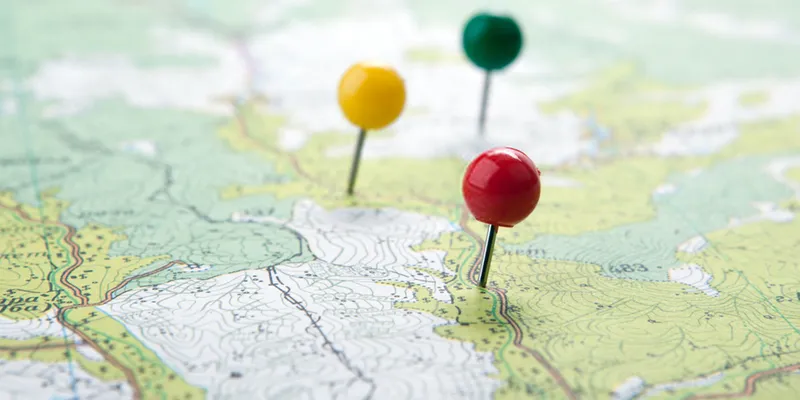
Geographical Method
How Can You Use Geographical Approach for Your Business?
Till now you have learned about the geographical approach and their importance. Now let’s find out how you can use them for several purposes.
1. Geographical Approach of Data Collection
GIS or Geographical information system is one of the geographical approach that will help you to collect, store, analyze and manage all types of geographical data. Data collection is essential for all fields of study.
The use of GIS is increasing day by day as it has been developed faster. With the help of the GIS, you can get a clearer knowledge of the complex problems that often consist of geographic components. Then this will ultimately help you to make a better decision and allow you to grab more opportunities to protect limited resources. Overall it will improve the whole working process as well.
GIS is an essential tool that can be helpful for almost every field of study and place to gather information and data effortlessly. So, let’s find out what type of data we can collect as well as the techniques that are used for data collection.
i) How to Separate Data During Data Collection?
There are two ways by which the data has been separated. One is for primary data sources and another is secondary data sources.
During the data collection process, the first thing that you need to do is to create a base map by collecting data and information. In the next step, you need to gather information about the layers which are going to cover the map. The data that you need for a base map can be found in the “primary sources”. These data are local and are directly used in GIS in a digital format.
In the “secondary sources” the data are used for general purposes and mainly used in GIS after proper improvement. But paper maps and other spatial data can also be found here. Though they are not available in GIS format and they need digitizing.
While using secondary data, you need to be very cautious and make sure that you are using the correct data, or else the final result will be incorrect as well as outdated. There is another third category that is used for transferring the data from the spatial web and online databases.
ii) Collect Data with Alternative Sources
Usually, the approach of collecting and capturing data is almost similar. Mainly all these methods are based on remote sensing, GPS and others. Here are some other alternative methods that you can use for data collection. They are:
- Data collection via surveying- The data that you can find here are collected from on-site surveys or from remote sensing or GPS techniques. These are basically used for scientific maps and research.
- Digital Globe- It is made with a high-resolution configuration. The best part is that you do not need to think of data alteration. Hence, you can easily scale up and down and configure it up on mobile or desktop. You can even freely share your files and documents and other important information.
Apart from these, other alternatives approach are there such as VGI or Volunteer Geographic Information. LBS or Location-based Services, Geo visualization and Laser scanners and SAR or specific absorption rate, cameras with geographic information system technologies and many more. All of these are advanced and latest techniques for data collection.
2. Geographical Approach of Filing
This is another geographical method through where files can be stored according to the geographical location of a firm, organization or person. Here you can group your files by mentioning the name of the places in the file and arrange them in a drawer either in alphabetical order or in the numerical order as per your requirement. So, if you have several companies and organizations or businesses in different countries and states, this approach will be the right option for you. The best part is that this method is easy to understand as well as for use. Other filing methods are numerical, chronological, alphabetical or by subject.
3. Geographical Approach of Analysis
Geographical analysis is also known as an analytical tool that is used for analyzing geographical data. In case you want to get better results then strong statistical techniques are required that will support the analysis data. There are several tools and techniques used in geographical analysis such as Probability, Hypotheses Tests, Data Selection and Inference.
While the probability helps in making reasonable predictions in situations where hard data does not exist and the hypotheses test allows you to make a meaningful comparison of data and find out the differences present in them. The data section is another important step that is included in geographical Approach of analysis. By following heavy statistical practice you can easily select unbiased and representative samples.
Sometimes analysis is essential for a small geographical area, especially when you have less funding or time and other resources, Statistics inference will allow you to describe your sample more appropriately and make larger and more general results.

Wrapping Up
Hopefully, this story has given you enough information about the geographical Approach and their importance for your business. So, if you are going to start a new business then use these methods and get the best benefits out of these.


